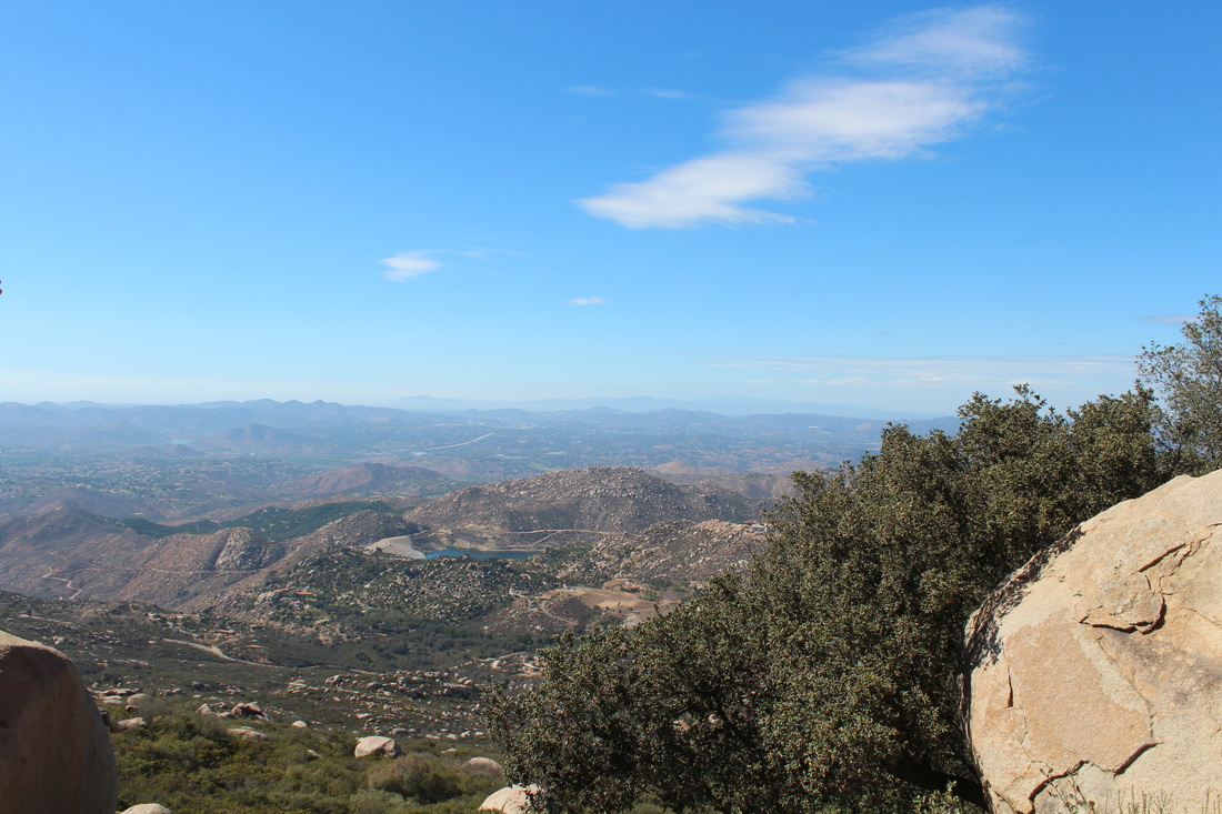
If you are following my Instagram, you'll see that I've been spending a month in the United States. There were many amazing places that I've been to in this trip, but the highlight of my trip would be this Hike that I went near San Diego, California.
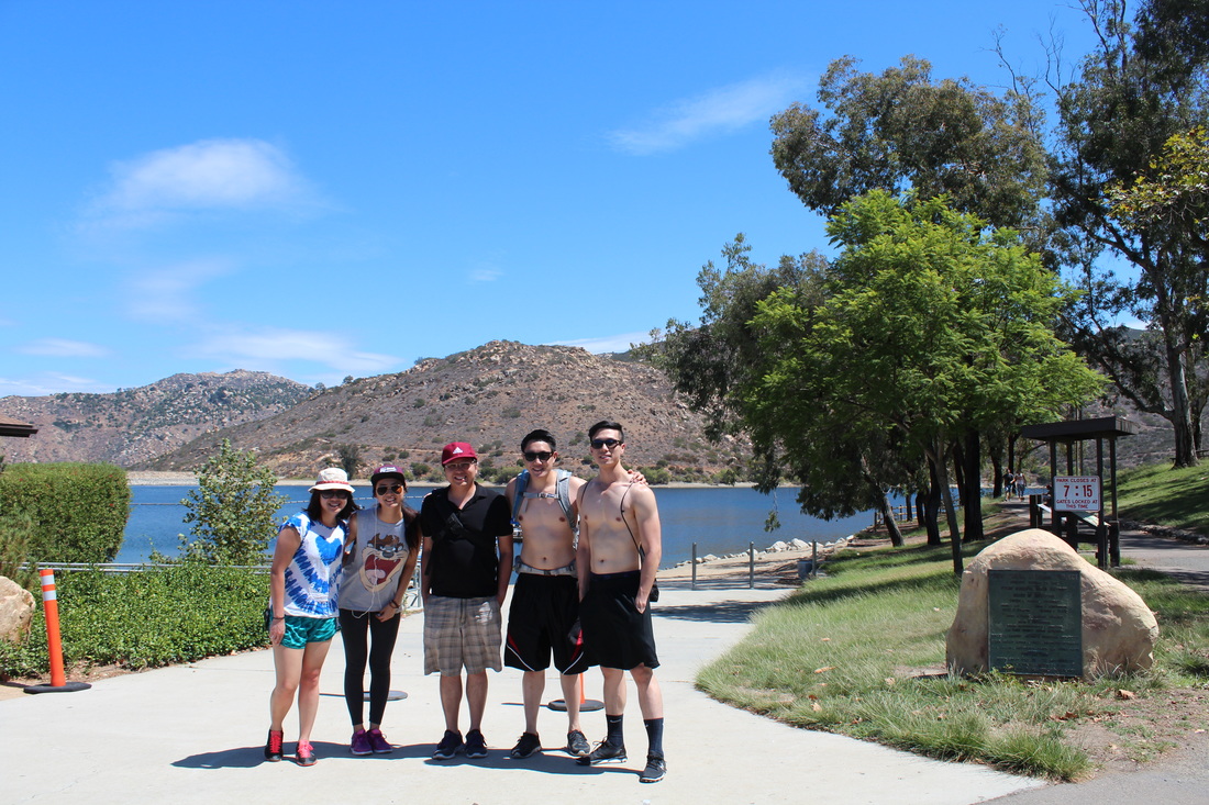
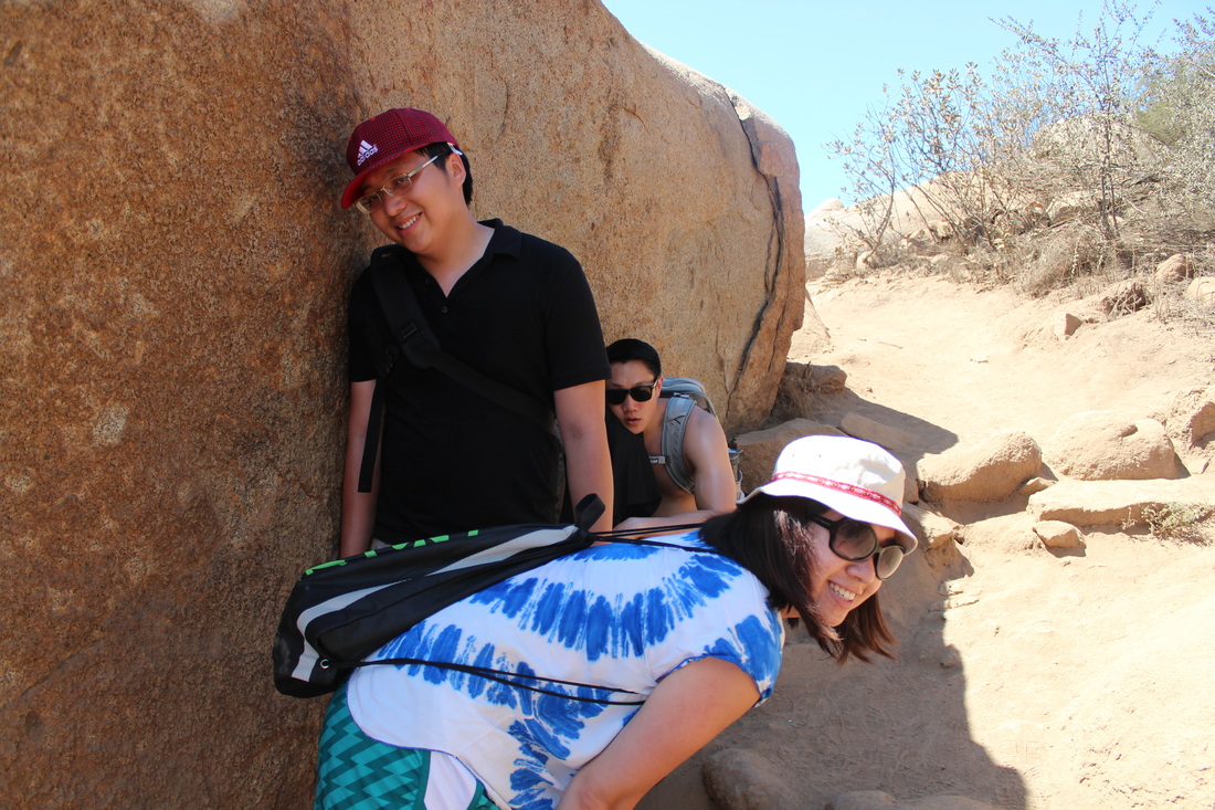
So it was Labor's Day Weekend on Sunday, my cousin Eric Lee, his friend Aaron and his girlfriend Alice had some free time to bring my sister and I for little hike.
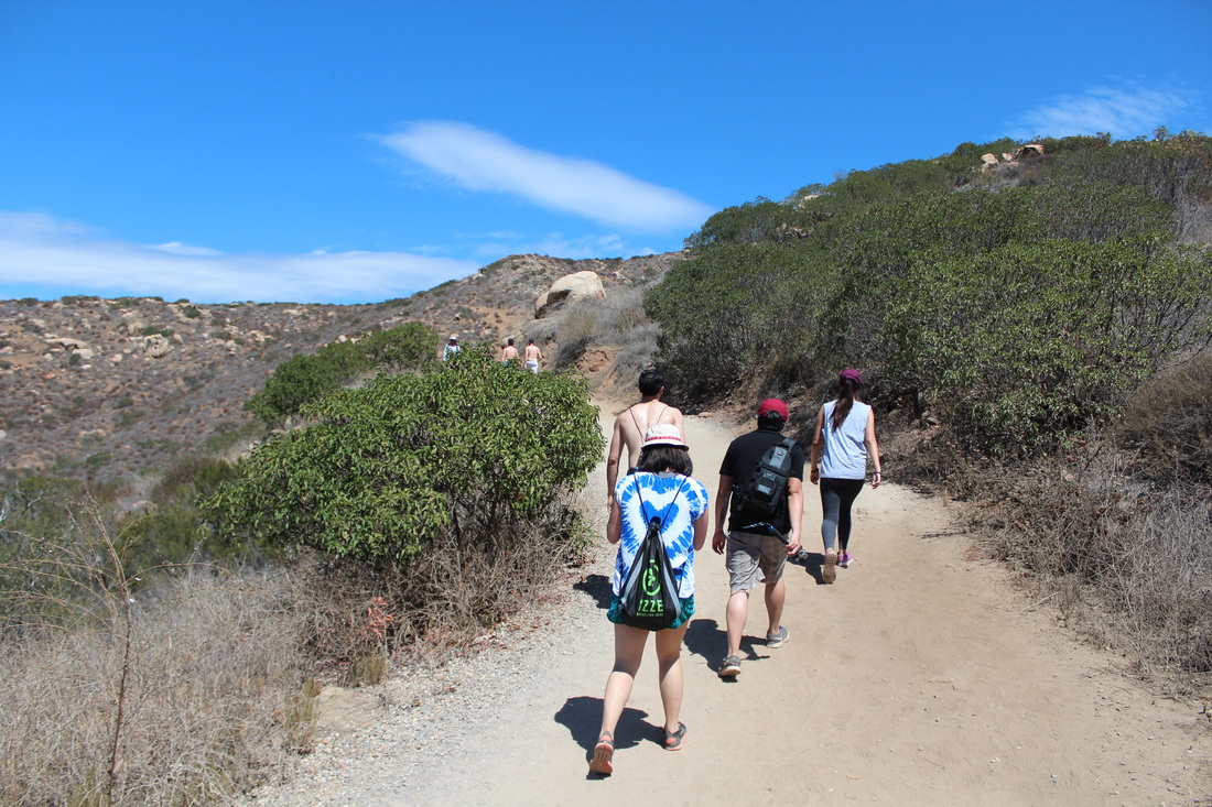
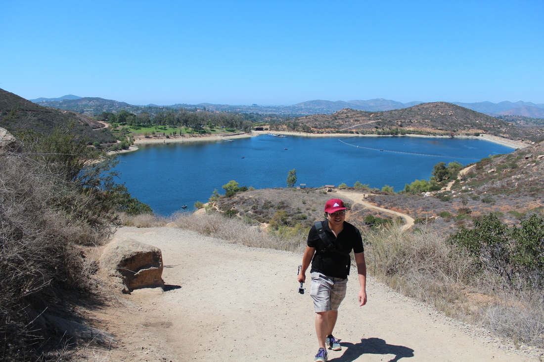
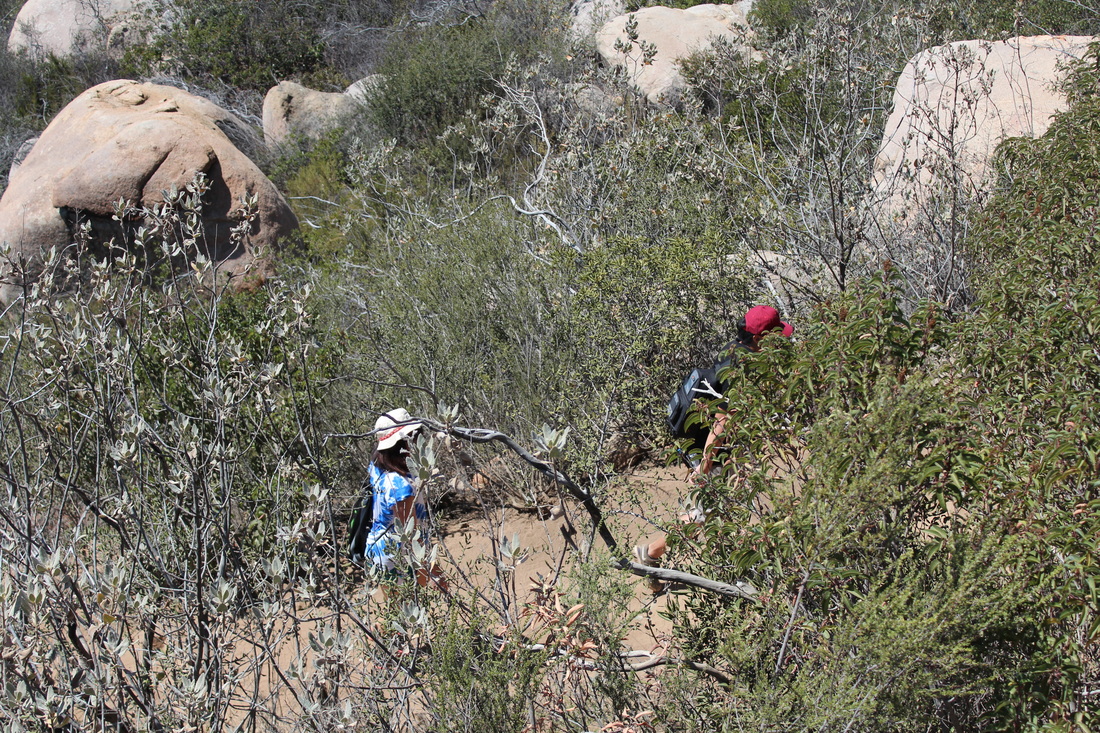
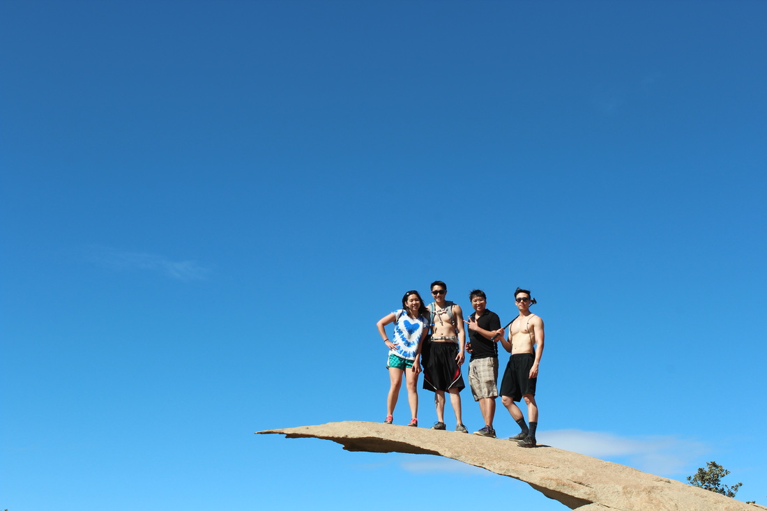
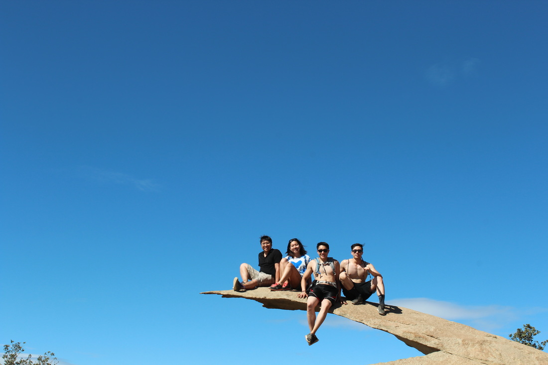
This is a very beautiful park with beautiful trail though it's kinda hot during Summer. The hike and the Potato Chip is actually made popular since the past couple years with hikers taking pictures and Hashtags on all social media platforms. Here are some things that you should bring especially if you're hiking during Summer, which I didn't.
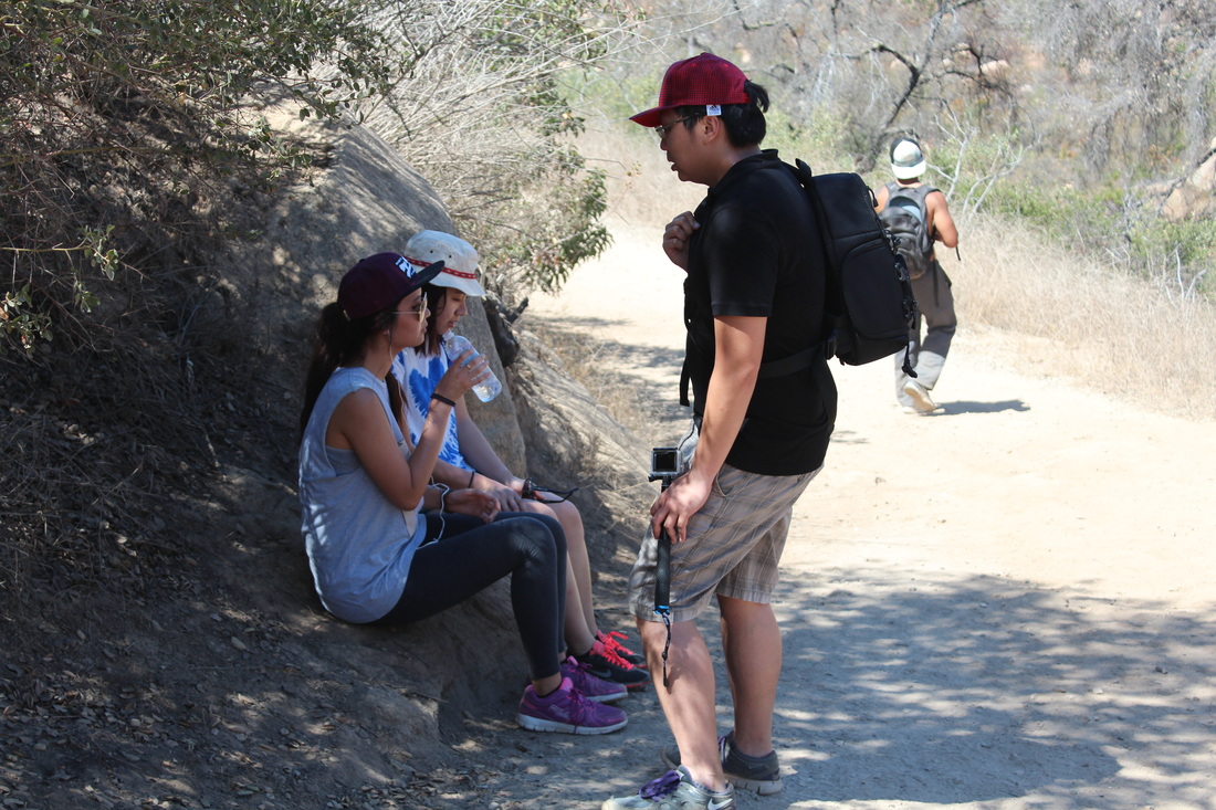
What to bring : Sunglasses (OMG this is important), at least 2 liters of water preferably cold and easy to carry, snacks are optional, comfortable hiking clothes, sun block lotion SPF 100, hiking shoes and avoid sandals or slippers, good camera or good cellphone camera (don't make yourself regret), some money in case you wanna get some ice cold Gatorade or Powerade when you're down. Reaching the Top is optional but getting down is mandatory.
Time : Closes 7.30pm
Location : Potato Chip Rock is located at the peak of Mount Woodson in Poway, California.
Hike Distance : Approximately 8 Miles
Directions:
From the North/Orange County Area
- Take the I-5 S toward San Diego.
- Merge onto CA-78 E via EXIT 51B toward Escondido/Vista Way. - 16.4 mi
- Merge onto I-15 S toward San Diego. - 5.7 mi
- Take the Pomerado Rd exit, EXIT 26, toward Highland Valley Rd. - 0.2 mi
- Turn slight right onto Pomerado Rd/W Bernardo Dr. Continue to follow Pomerado Rd. - 2.9 mi
- Turn left onto Rancho Bernardo Rd. - 0.4 mi (Rancho Bernardo Rd is 0.1 miles past Caminito de la Gallarda. SHELL is on the corner. If you are on Pomerado Rd and reach Rios Rd you've gone about 0.2 miles too far.)
- Rancho Bernardo Rd becomes Espola Rd. - 2.4 mi
- Turn left onto Lake Poway Rd. - 0.5 mi
- Lake Poway Rd is 0.1 miles past Morning Air Rd. (If you reach Trailwind Rd you've gone about 0.1 miles too far)
- 14644 LAKE POWAY RD is on the left. (if you reach the end of Lake Poway Rd you've gone about 0.2 miles too far)
From the South/San Diego Area
- Merge onto CA-163 N via EXIT 16 toward Escondido.
- Merge onto I-15 N via the exit on the left. - 7.3 mi
- Take the Ted Williams Pkwy exit, EXIT 19, toward CA-56 W. - 0.6 mi
- Turn right onto Ted Williams Pkwy. - 2.5 mi (if you reach I-15 N you've gone about 0.3 miles too far)
- Turn right onto Twin Peaks Rd. - 2.3 mi (Twin Peaks Rd is 0.2 miles past Pomerado Rd. If you are on Deerwood St and reach Peachwood Ct you've gone a little too far)
- Turn left onto Espola Rd. - 2.1 mi (Espola Rd is 0.1 miles past Roberto Rio Rd. If you reach Kalapana St you've gone about 0.1 miles too far)
- Turn right onto Lake Poway Rd. - 0.5 mi (Lake Poway Rd is 0.1 miles past Trailwind Rd. If you reach Morning Air Rd you've gone about 0.1 miles too far)
- 14644 LAKE POWAY RD is on the left. (If you reach the end of Lake Poway Rd you've gone about 0.2 miles too far)
Where to Park:
- Bring $10-15 cash to purchase a Lake Poway day parking pass. The parking lot is adjacent to the park. Start the hike at the Mt Woodson Trail-head. When driving into the parking lot, continue to the very right of the lot. If you need assistance, ask the Park Ranger.
 RSS Feed